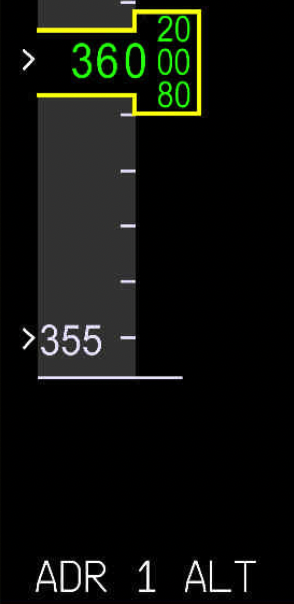
This indicates the current altitude in feet. Pulses, when the difference between the current altitude and the selected altitude:
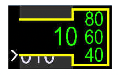
What does it mean?
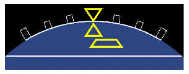
The ADIRS provide the sideslip angle of the aircraft.On ground, indicates the lateral acceleration of the aircraft. In flight, indicates the sideslip of the aircraft.
AIRSPEED INDICATIONS AFTER TOUCHDOWN - On a slippery runway, the A-SKID may be activated before the aircraft reaches the selected deceleration. Therefore, the DECEL indication may not appear, even if the autobrake is active.
AIRSPEED INDICATIONS AFTER TOUCHDOWN - The green "DECEL" indicates that:
Appears below the speed scale, when the aircraft deceleration rate reaches at least 80 % of the selected deceleration. No longer appears when the aircraft deceleration rate is less than 70 % of the selected deceleration.
FD YAW BAR - The FD yaw bar appears when:
TAIL STRIKE PITCH LIMIT - The indication appears when the aircraft is below _____, at a fixed value corresponding to the pitch limit with the main landing gear compressed.
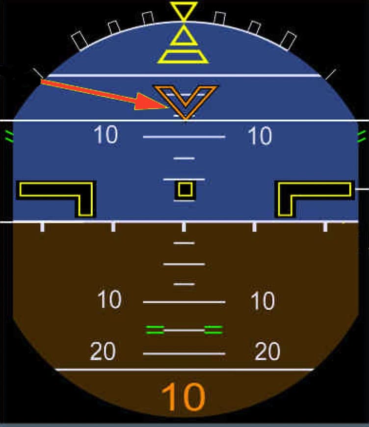
TAIL STRIKE PITCH LIMIT - The PRIMs provide the tail strike pitch limit.

The Vertical Display (VD) provides the flight crew with an overview of the vertical position of the aircraft. The VD is a secondary means of navigation, that increases the flight crew's awareness of the aircraft vertical location.
In ARC mode, the VD range is equal to the ND range. In ROSE-NAV mode, the VD range is half the ND range, because the VD only shows the area ahead of the aircraft.
Grid MORAs are displayed on the ND. However, the ND displays the highest grid MORA within a circular area of _____ radius around the aircraft.
This indication appears if:
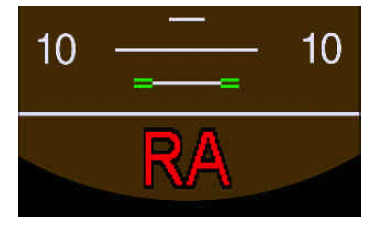
The ground reference indication no longer appears on the altitude scale. Temporarily flashes, then remains steady.
Advertisement
The RA height appears on the PFD when the aircraft height is less than _____.
The detection of the G/S transmitter failure is available between _____, when the G/S mode is engaged.
Appears if the following information cannot be displayed:
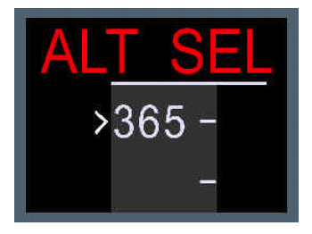
Temporarily flashes, then remains steady.
TAIL STRIKE PITCH LIMIT - This indicates the maximum pitch attitude, in order to avoid a tail strike on takeoff.

Indicates the maximum pitch attitude, in order to avoid a tail strike during landing, not takeoff!
What is the correct statement?
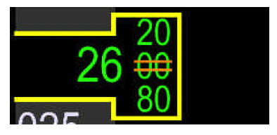
What does it mean?
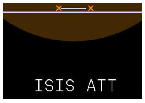
When the aircraft significantly deviates from the selected altitude or flight level:
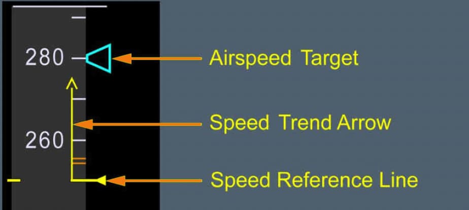
GENERAL AIRSPEED INDICATIONS - The PRIMs provide the speed trend information. Indicates the airspeed that the aircraft will reach in _____, if the current acceleration(deceleration) remains constant.
LOC OR F-LOC DEVIATION - If the LOC transmitter fails:
BANK ANGLE PROTECTION - The FCDC provides the bank angle protection but in which conditions?

Advertisement
Altitude alerts are inhibited in approach, when the aircraft captures the glideslope, or:
When the aircraft is in a holding pattern, the vertical deviation is the difference between the altitude of the aircraft and the altitude of the holding exit.
To perform an RNAV(RNP) departure, the flight crew must:
MAXIMUM SPEED - The VMAX is the lowest of:
What does this indicate?

When is this displayed?
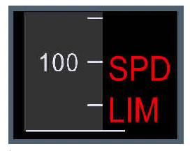
What does it mean?
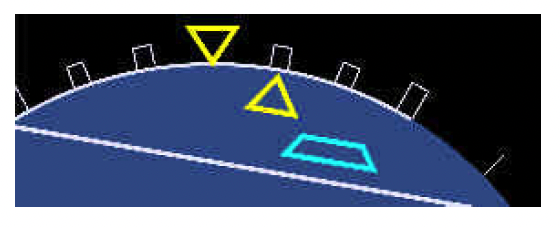
When TRK-FPA is selected, both PFDs automatically display the Flight Path Vector (FPV). When TRK-FPA is selected, pressing the VV pb has no effect: both PFDs continue to display the FPV, and the VV light remains on.
FLIGHT PATH VECTOR (FPV) OR VELOCITY VECTOR (VV) - The ADIRS provide the flight path angle required to display the FPV or the VV. When does it appear?

This indication appears on both PFDs when:
Advertisement
The ADIRS provide pitch and roll data that is necessary for the display of the horizon line. What is the true statement?
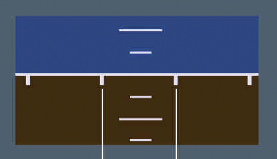
The PRIMs provide the altitude target. If all three PRIMs are lost, the ISIS backup provides the altitude target.
The PRIMs provide the altitude target. If all three PRIMs are lost, the FCU backup (not ISIS backup) provides the altitude target.
If the flight crew selects the TRK-FPA mode on the AFS CP before takeoff. ______, the following symbols appear: the FPV, the FPD, like a magenta donut, the energy chevrons, and the delta speed.
TAIL STRIKE PITCH LIMIT - The indication no longer appears:

When is this displayed?
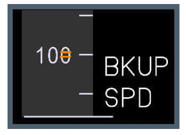
The vertical speed scale has a range between:
LOC OR F-LOC DEVIATION - The detection of the LOC transmitter failure is available between _____, when the LOC mode is engaged.
SAFETY ALTITUDE - In terms of "safety altitudes", the FMS database only provides Grid MORAs.
MSAs are also displayed when the flight crew selects a departure, or an arrival procedure (SID, TRANS, or APPR) in the FMS. The FMS computes the safety altitudes along the aircraft trajectory, up to the VD range. Grid MORAs on the VD and on the charts may be slightly different, due to the fact that the grid used in the FMS navigation database may be smaller than the grid in the charts.
What does this indicate?
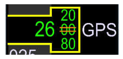
When the aircraft approaches high latitudes, the SELECT TRUE NORTH REF message appears on the ND, and requests the flight crew to select the TRUE North reference.
This message appears above 82 ° North, or above 73 ° North, with a longitude between 120 ° West, and 90 ° West, or below 60 ° South.
Advertisement
The vertical speed of the aircraft appears in amber if the vertical speed:
The vertical speed of the aircraft appears also in amber if the vertical speed exceeds 6 000 ft/min(below -6 000 ft/min), or is less than -2 000 ft/min, and the aircraft RA height is between 1 000 ft and 2 500 ft.
Indicates the current altitude in feet. Flashes, when the difference between the current altitude and the selected altitude:
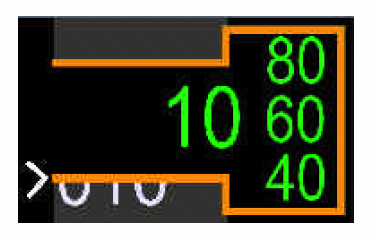
Observe the orange color that boxes the altitude!
The ADRs provide the current altitude information. If the automatic monitoring of air data rejects the altitude of the three ADRs, the PRIMs provides the current altitude information.
If the automatic monitoring of air data rejects the altitude of the three ADRs, the ISIS provides the current altitude information.
If the automatic monitoring of air data rejects the altitude of the three ADRs, the barometric reference is no longer displayed on the PFD. The flight crew can still set the barometric reference via the set/sel knob of the ISIS.
If the backup altitude is manually or automatically selected, only the STD barometric reference is available.
